|
||||||||||
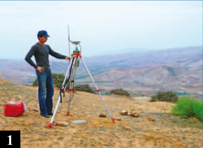
The firm Barbieri , through experience gained over the years, has been able to provide the construction industry with geodetic networks, trigonometric points using high precision GPS. We also provide useful support in:
•
Polygonaly
• Designs of measured points in 3D
• Plans listed
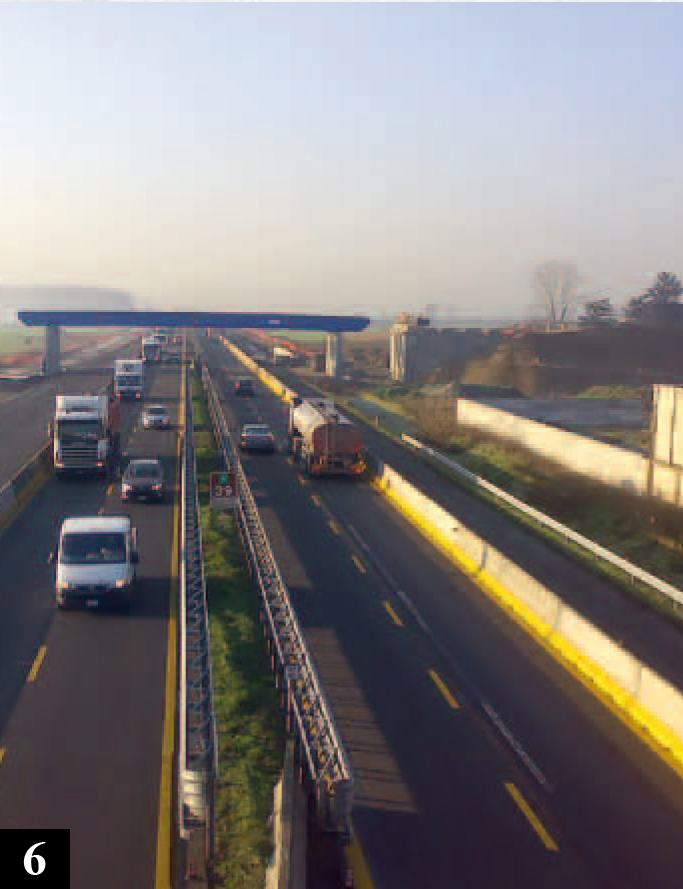
• Tracking for construction of roads, highways,
power lines, pipelines, civil works
•
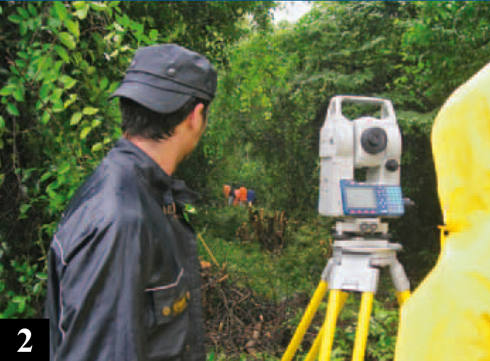
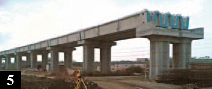
Monitoring and testing (Cave, rivers, bridges, reservoirs,
civil and industrial structures)
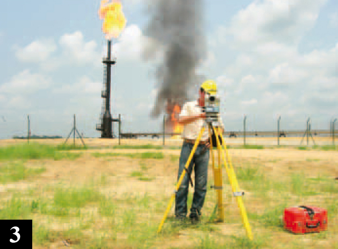
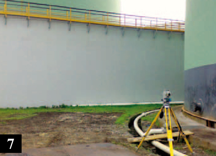
• Hydrotesting above ground tanks on the refineries
• Surveys generic plots, plans listed
mathematical models for the return of the land
3D, display regular meshes, triangular,
contour generation of profiles and sections.
• Plano-altimetric surveys detail
or the construction of power lines HV / MV / LV
pipelines, aqueducts, roads and highways, etc..
• Scanning and geo referencing of maps with the same
control points in different coordinate systems
• Digitization of maps and curve generation
level in 3D for feasibility studies and design
power lines, aqueducts, pipelines, roads and
motorways.
• Generation of digital terrain models DTM
and creation of sections and elevation contours along
paths
• Management of satellite images and aerial
photogrammetry calibrated with the same support points
measured in the field with GPS
• Creation of cartographic bases for GIS solutions
(Geographic Information Systems)
• Mosaicing aerial photos / satellite applications
for GIS
The firm also provides assistance to companies by stake and tracking phases working for the construction of :
• Roads and Highways
– Determination and control of points
– control of materials such as mixed concrete, base,
binder and draining.
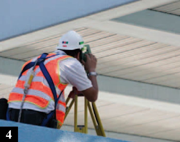
• Civil Works
– Tracking of foundations, footings,
walls, piles and construction in general.
– Support for elevation and verticality of walls, stacks.
• Power lines, pipelines and similar infrastructure
– Peg the pylons of the track and field
according to table to stake
– Reconnaissance of diagonal sections
• Excavation projects
– Surveys of quarries with different material.
– Accounting, quantity surveying, volume calculation
and progress reports.